
Formulario OVNI Range Fouler, Oriente Medio, mayo 2020
Archivo oficial: DOW-UAP-D038, Informe de intrusión en polígono (Range Fouler), Medio Oriente, mayo de 2020
Publicado el · Actualizado el
Datos del expediente
- ID oficial del expediente
- DOW-UAP-D38 (citado como DOW-UAP-D038 en este archivo)
- Tipo de documento
- Documento
- Agencia
- Department of War
- Publicado en
- R01 · 2026-05-08
- Fecha del incidente
- 5/14/20
- Lugar del incidente
- golfo Arábigo
- Coordenadas
- 27.2381259, 51.1972311
- Páginas legibles
- 1/1
- VIRIN
- 260508-D-D0360-1030
Descripción oficial
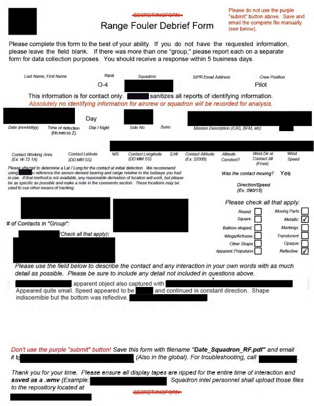
Este documento es un Range Fouler Debrief, un formulario de reporte estandarizado que la Armada de EE. UU. utiliza para registrar las circunstancias que rodean una intrusión no autorizada en espacio aéreo controlado durante operaciones militares activas o entrenamiento. Estos reportes contienen una descripción narrativa de las experiencias del observador. Un operador militar de EE. UU. reportó haber observado un “objeto blanco sólido [volar] a través del [campo de visión]. El reportante describió el UAP realizando [movimientos] erráticos sobre el agua. Todo el lenguaje descriptivo y estimativo contenido en este informe refleja la interpretación subjetiva del reportante en el momento del evento. Tales caracterizaciones no deben interpretarse como una indicación concluyente de la presencia o ausencia de características intrínsecas del objeto o de sus capacidades de desempeño.
✦ Resumen IA
Formulario 'Range Fouler Debrief' desclasificado de una página (un cuestionario estandarizado de reporte de UAP tipo SPEAR/Armada), presentado para un encuentro el 14 de mayo de 2020 a las 2040Z (de noche) en Medio Oriente (código de zona de trabajo 28314; el campo de latitud del formulario se llenó como 28314 N —aparentemente duplicando el código de zona de trabajo— con longitud 49524 E; altitud de contacto de 20.000 pies, señalada como constante). Mientras realizaba una tarea ISR, el sensor de la tripulación aérea (ATFLIR) captó un objeto sólido, blanco y redondo que cruzaba el campo de visión; la tripulación lo perdió brevemente y luego lo volvió a adquirir, siguiéndolo mientras parecía hacer movimientos erráticos justo por encima del agua. El operador del sensor logró un zoom de 4x sobre el objeto antes de volver a perderlo debido a una mala colocación del seguimiento, ajustando continuamente el sensor para mantener el objeto a la vista (evidenciado por olas alternadamente visibles/invisibles en el fondo). En el formulario se marcó la forma como "Redonda", sin indicaciones de partes móviles, superficie metálica, marcas o propulsión aparente registradas (campos sin marcar). El contacto se evaluó como un único (1) objeto; el campo "Radar Equipped" del formulario quedó en blanco, mientras que el registro de seguimiento se marcó como intermitente. Desclasificado por el Mayor General Richard A. Harrison, Jefe de Estado Mayor de USCENTCOM, divulgado bajo USCENTCOM MDR 26-0019, 26/01/26, aprobado para divulgación a AARO.
Generado con IA a partir del archivo oficial — puede contener errores.
▸Transcripción(1 de 1 páginas legibles)
[PAGE 1] [Stamp, red text, top right, with a line struck through it]: "Declassified by MG Richard A. Harrison, USCENTCOM Chief of Staff" / "Declassified on 22 January 2026" [struck through] — overlapped by printed instruction text: "Please do not use the purple "submit" button above. Save and email the complete file manually (see below)." [DoD seal/emblem, left] ... [redacted red bar, center, above title] Range Fouler Debrief Form Please complete this form to the best of your ability. If you do not have the requested information, please leave the field blank. If there was more than one "group," please report each on a separate form for data collection purposes. You should receive a response within 5 business days. Last Name, First Name: [blank] Rank: [blank] Squadron: [blank box] SIPR Email Address: [blank] Crew Position: [blank] This information is for contact only. SPEAR sanitizes all reports of identifying information. Absolutely no identifying information for aircrew or squadron will be recorded for analysis. Date (mm/dd/yy): 05/14/20 Time of detection (hh:mm:ss Z): 20:40:00 Day/Night: Night Side No.: [blank] Buno: [blank] Mission Description (CAS, BFM, etc): ISR LFE?: [blank] Contact Working Area (Ex: W-72 1A): 28314 Contact Latitude (DD:MM:SS): 28314 N/S: N Contact Longitude (DD:MM:SS): 49524 E/W: E Contact Altitude (Ex: 22000): 20000 Altitude Constant?: Yes Wind Dir at Contact Alt (From): [blank] Wind Speed: [blank] Please attempt to determine a Lat/Long for the contact at initial detection. We recommend using JMPS to reference the sensor-derived bearing and range relative to the bullseye you had in use. If that method is not available, any reasonable derivation of location will work, but please be as specific as possible and make a note in the comments section. These locations may be used to cue other means of tracking. Was the contact moving?: Yes Direction/Speed (Ex. 090/15): [blank] Radar Equipped: [blank] Stable Trackfile?: Intermittent # of Contacts in "Group": 1 AIM-9x Self-Track: [unchecked] ATFLIR Autotrack: [unchecked] Tally Achieved: [unchecked] EA Indications (Check all that apply): ECM Arc [unchecked] Letter Identifier [unchecked] False Trackfiles [unchecked] Other/Ambiguous [unchecked] Please check all that apply: Round: [checked] Moving Parts: [unchecked] Square: [unchecked] Metallic: [unchecked] Balloon-shaped: [unchecked] Markings: [unchecked] Wings/Airframe: [unchecked] Translucent: [unchecked] Other Shape: [unchecked] Opaque: [unchecked] Apparent Propulsion: [unchecked] Reflective: [unchecked] Please use the field below to describe the contact and any interaction in your own words with as much detail as possible. Please be sure to include any detail not included in questions above. While preforming an ISR tasking (ULTN/Black Hot/Lin), a solid white object flew through the FOV. There was a temporarily lose of the object but re-acquired shortly there after. The crew was able to follow the object as it appeared to make erratic moments above the water. During the follow, crew was able to obtain 4x zoom on the object but lost the object due to poor track placement. While following, the sensor operator was continuously manipulating the sensor to maintain eyes on the object. This is apparent by the waves of the water in the background being visible and not being visible. Don't use the purple "submit" button! Save this form with filename "Date_Squadron_RF.pdf" and email it to [redacted, FOIA Exemption 3.5c, (b)(6)] (Also in the global). For troubleshooting, call [redacted, FOIA Exemption 3.5c, (b)(6)]. Thank you for your time. Please ensure all display tapes are ripped for the entire time of interaction and saved as a .wmv (Example: 4 May VFA-106 HUD.wmv). Squadron intel personnel shall upload those files to the repository located at this link. [redacted, FOIA Exemption 3.5c, (b)(6)] USCENTCOM MDR 26-0019 [redacted red bar] Approved for Release to AARO 01/26/26 001
Generado con IA a partir del archivo oficial — puede contener errores.
Traducción automática — el documento original está en inglés. Ver en inglés →
Fuente: Departamento de Guerra de EE. UU. / AARO — dominio público · war.gov/ufo
Entidades en este documento
Casos conectados
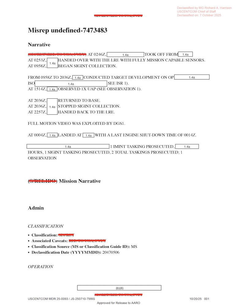
DOW-UAP-D010, Mission Report, Middle East, May 2022

DOW-UAP-D023, Mission Report, United Arab Emirates, October 2023

DOW-UAP-D033, Mission Report, Greece, October 2023

DOW-UAP-D035, Mission Report, Greece, October 2023

DOW-UAP-D042, Range Fouler Debrief, Arabian Gulf, 2023
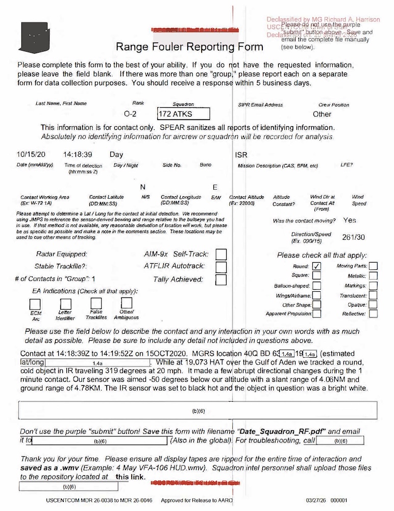
DOW-UAP-D044, Range Fouler Reporting Form, Gulf of Aden, October 2020
Casos relacionados
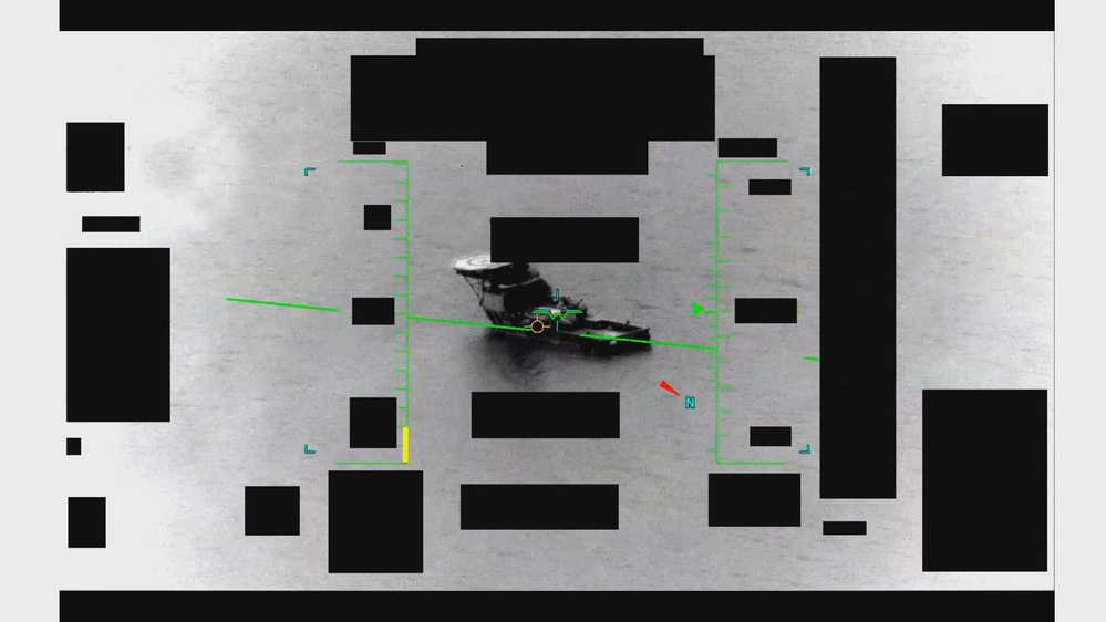 ▶ 137s
Video OVNI sobre Medio Oriente, may 2020 (IR, 2 min)
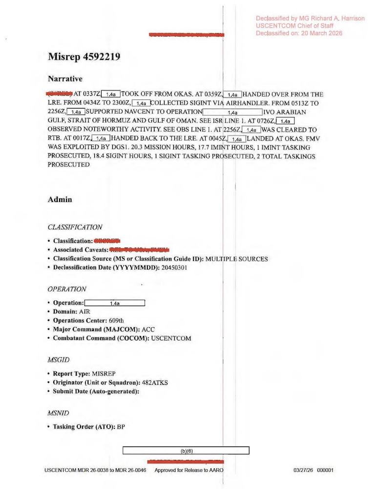
Informe de misión OVNI, Golfo Pérsico, ago. 2020

Informe de misión OVNI, Golfo Pérsico, ago. 2020

Informe de misión OVNI, Golfo Pérsico, jul. 2020
Mismo lugar
Formulario OVNI Range Fouler, Golfo Pérsico, ago. 2020
Informe de misión OVNI, Golfo Pérsico, ago. 2020
Informe de misión OVNI, Golfo Pérsico, ago. 2020
Informe de misión OVNI, Golfo Pérsico, jul. 2020
Informe de misión OVNI, Emiratos Árabes, oct. 2023
 ▶ 63s
Video OVNI sobre el Golfo Pérsico, 2020 (IR, 1 min)
Misma serie de expedientes
Informe de misión OVNI, Golfo Pérsico, 2020
Informe de misión OVNI, Golfo Pérsico, 2020
Informe de misión OVNI, Golfo Pérsico, 2020
Informe de misión OVNI, Golfo Pérsico, 2020
Informe de misión OVNI, Golfo Pérsico, 2020

Informe de misión OVNI, Yibuti, 2025
Mismo periodo
Formulario OVNI Range Fouler, golfo de Adén, oct. 2020

Formulario OVNI Range Fouler, golfo de Adén, sep. 2020
Formulario OVNI Range Fouler, mar Arábigo, ago. 2020
Formulario OVNI Range Fouler, Oriente Medio, oct. 2020
Informe de la Marina sobre un OVNI, Atlántico, 2020
Informe de la Marina sobre un OVNI, este de EE. UU., 2020
Misma publicación
Foo fighters: archivo OVNI del SHAEF, 1945
Archivo OVNI Flying Discs: carta de Twining, 1947
Informe de inteligencia de la USAF sobre OVNI, 1948
Proyecto Sign: archivo OVNI Flying Discs, 1948
Informes OVNI Flying Discs de la USAF, 1948-1950
Memorando del Departamento de Estado sobre OVNI, 1952
Misma agencia
Archivo OVNI del Proyecto Sign: Air Materiel Command, 1948
Cohetes fantasma sobre Suecia: informe OVNI, 1947
Estudio de la Fuerza Aérea sobre OVNI en EE. UU., 1948
Informe del Proyecto Sign sobre 100 avistamientos OVNI, 1948
OVNI: bolas de fuego verdes, Sandia y Los Álamos, 1948-50
