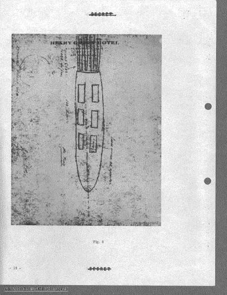
UFO-Formular Range Fouler, Naher Osten, Mai 2020
Offizielle Datei: DOW-UAP-D038, Range Fouler Debrief, Naher Osten, Mai 2020
Veröffentlicht am · Aktualisiert am
Kerndaten
- Offizielle Akten-ID
- DOW-UAP-D38 (hier zitiert als DOW-UAP-D038)
- Dokumenttyp
- Dokument
- Behörde
- Department of War
- Veröffentlicht in
- R01 · 2026-05-08
- Datum des Vorfalls
- 5/14/20
- Ort des Vorfalls
- Arabischer Golf
- Koordinaten
- 27.2381259, 51.1972311
- Lesbare Seiten
- 1/1
- VIRIN
- 260508-D-D0360-1030
Offizielle Beschreibung
Diese Berichte enthalten eine erzählerische Beschreibung der Erfahrungen des Beobachters. Ein US-Militäroperator meldete die Beobachtung eines „durchgehend weißen Objekts, das durch das [Sichtfeld flog]“. Der Meldende beschrieb, dass das UAP unregelmäßige [Bewegungen] über dem Wasser ausführte. Alle in diesem Bericht enthaltenen beschreibenden und einschätzenden Formulierungen spiegeln die subjektive Interpretation des Meldenden zum Zeitpunkt des Ereignisses wider. Solche Charakterisierungen sollten nicht als schlüssiger Hinweis auf das Vorhandensein oder Fehlen intrinsischer Objektmerkmale oder Leistungsmerkmale ausgelegt werden.
Über diesen Dokumenttyp
Bei diesem Dokument handelt es sich um ein Range Fouler Debrief, ein standardisiertes Berichtsformular, das von der US-Marine verwendet wird, um die Umstände eines unbefugten Eindringens in kontrollierten Luftraum während aktiver militärischer Einsätze oder Übungen festzuhalten.
Zum Glossar →✦ KI-Zusammenfassung
Freigegebenes einseitiges 'Range Fouler Debrief Form' (ein standardisierter UAP-Meldefragebogen im SPEAR-/Navy-Stil), eingereicht für eine Begegnung am 14. Mai 2020 um 2040Z (nachts) im Nahen Osten (Arbeitsgebietscode 28314; das Breitengrad-Feld des Formulars wurde mit 28314 N ausgefüllt — offenbar eine Dopplung des Arbeitsgebietscodes — mit Längengrad 49524 E; Kontakthöhe 20.000 Fuß, als konstant vermerkt). Während der Durchführung eines ISR-Auftrags erfasste der Sensor der Flugbesatzung (ATFLIR) ein festes, weißes, rundes Objekt, das durch das Sichtfeld flog; die Besatzung verlor es kurzzeitig und erfasste es erneut, wobei sie es verfolgte, während es scheinbar unregelmäßige Bewegungen knapp über dem Wasser ausführte. Der Sensoroperator erzielte einen 4-fachen Zoom auf das Objekt, bevor er es aufgrund schlechter Trackplatzierung erneut verlor, wobei er den Sensor fortlaufend nachjustierte, um das Objekt im Blick zu behalten (belegt durch im Hintergrund abwechselnd sichtbare/unsichtbare Wellen). Auf dem Formular wurde die Form als 'rund' angekreuzt, ohne Hinweise auf bewegliche Teile, metallische Oberfläche, Markierungen oder erkennbaren Antrieb (Felder nicht angekreuzt). Der Kontakt wurde als einzelnes (1) Objekt eingestuft; das Feld „Radar Equipped“ des Formulars blieb leer, während der Trackfile als unterbrochen markiert wurde. Freigegeben von Generalmajor Richard A. Harrison, Stabschef des USCENTCOM, veröffentlicht unter USCENTCOM MDR 26-0019, 26.01.26, zur Freigabe an AARO genehmigt.
Mit KI aus der Originaldatei erstellt — kann Fehler enthalten.
▸Transkript(1 von 1 Seiten lesbar)
[PAGE 1] [Stamp, red text, top right, with a line struck through it]: "Declassified by MG Richard A. Harrison, USCENTCOM Chief of Staff" / "Declassified on 22 January 2026" [struck through] — overlapped by printed instruction text: "Please do not use the purple "submit" button above. Save and email the complete file manually (see below)." [DoD seal/emblem, left] ... [redacted red bar, center, above title] Range Fouler Debrief Form Please complete this form to the best of your ability. If you do not have the requested information, please leave the field blank. If there was more than one "group," please report each on a separate form for data collection purposes. You should receive a response within 5 business days. Last Name, First Name: [blank] Rank: [blank] Squadron: [blank box] SIPR Email Address: [blank] Crew Position: [blank] This information is for contact only. SPEAR sanitizes all reports of identifying information. Absolutely no identifying information for aircrew or squadron will be recorded for analysis. Date (mm/dd/yy): 05/14/20 Time of detection (hh:mm:ss Z): 20:40:00 Day/Night: Night Side No.: [blank] Buno: [blank] Mission Description (CAS, BFM, etc): ISR LFE?: [blank] Contact Working Area (Ex: W-72 1A): 28314 Contact Latitude (DD:MM:SS): 28314 N/S: N Contact Longitude (DD:MM:SS): 49524 E/W: E Contact Altitude (Ex: 22000): 20000 Altitude Constant?: Yes Wind Dir at Contact Alt (From): [blank] Wind Speed: [blank] Please attempt to determine a Lat/Long for the contact at initial detection. We recommend using JMPS to reference the sensor-derived bearing and range relative to the bullseye you had in use. If that method is not available, any reasonable derivation of location will work, but please be as specific as possible and make a note in the comments section. These locations may be used to cue other means of tracking. Was the contact moving?: Yes Direction/Speed (Ex. 090/15): [blank] Radar Equipped: [blank] Stable Trackfile?: Intermittent # of Contacts in "Group": 1 AIM-9x Self-Track: [unchecked] ATFLIR Autotrack: [unchecked] Tally Achieved: [unchecked] EA Indications (Check all that apply): ECM Arc [unchecked] Letter Identifier [unchecked] False Trackfiles [unchecked] Other/Ambiguous [unchecked] Please check all that apply: Round: [checked] Moving Parts: [unchecked] Square: [unchecked] Metallic: [unchecked] Balloon-shaped: [unchecked] Markings: [unchecked] Wings/Airframe: [unchecked] Translucent: [unchecked] Other Shape: [unchecked] Opaque: [unchecked] Apparent Propulsion: [unchecked] Reflective: [unchecked] Please use the field below to describe the contact and any interaction in your own words with as much detail as possible. Please be sure to include any detail not included in questions above. While preforming an ISR tasking (ULTN/Black Hot/Lin), a solid white object flew through the FOV. There was a temporarily lose of the object but re-acquired shortly there after. The crew was able to follow the object as it appeared to make erratic moments above the water. During the follow, crew was able to obtain 4x zoom on the object but lost the object due to poor track placement. While following, the sensor operator was continuously manipulating the sensor to maintain eyes on the object. This is apparent by the waves of the water in the background being visible and not being visible. Don't use the purple "submit" button! Save this form with filename "Date_Squadron_RF.pdf" and email it to [redacted, FOIA Exemption 3.5c, (b)(6)] (Also in the global). For troubleshooting, call [redacted, FOIA Exemption 3.5c, (b)(6)]. Thank you for your time. Please ensure all display tapes are ripped for the entire time of interaction and saved as a .wmv (Example: 4 May VFA-106 HUD.wmv). Squadron intel personnel shall upload those files to the repository located at this link. [redacted, FOIA Exemption 3.5c, (b)(6)] USCENTCOM MDR 26-0019 [redacted red bar] Approved for Release to AARO 01/26/26 001
Mit KI aus der Originaldatei erstellt — kann Fehler enthalten.
Automatische Übersetzung — das Originaldokument ist auf Englisch. Auf Englisch ansehen →
Quelle: US-Kriegsministerium / AARO — gemeinfrei · war.gov/ufo
Entitäten in diesem Dokument
Verbundene Fälle
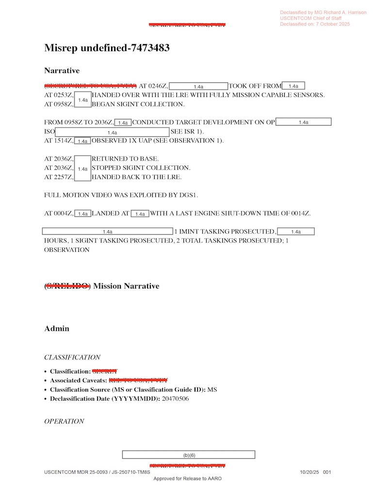
DOW-UAP-D010, Mission Report, Middle East, May 2022

DOW-UAP-D023, Mission Report, United Arab Emirates, October 2023

DOW-UAP-D033, Mission Report, Greece, October 2023

DOW-UAP-D035, Mission Report, Greece, October 2023

DOW-UAP-D042, Range Fouler Debrief, Arabian Gulf, 2023
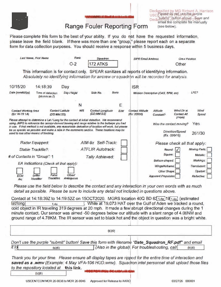
DOW-UAP-D044, Range Fouler Reporting Form, Gulf of Aden, October 2020
Verwandte Fälle
 ▶ 137s
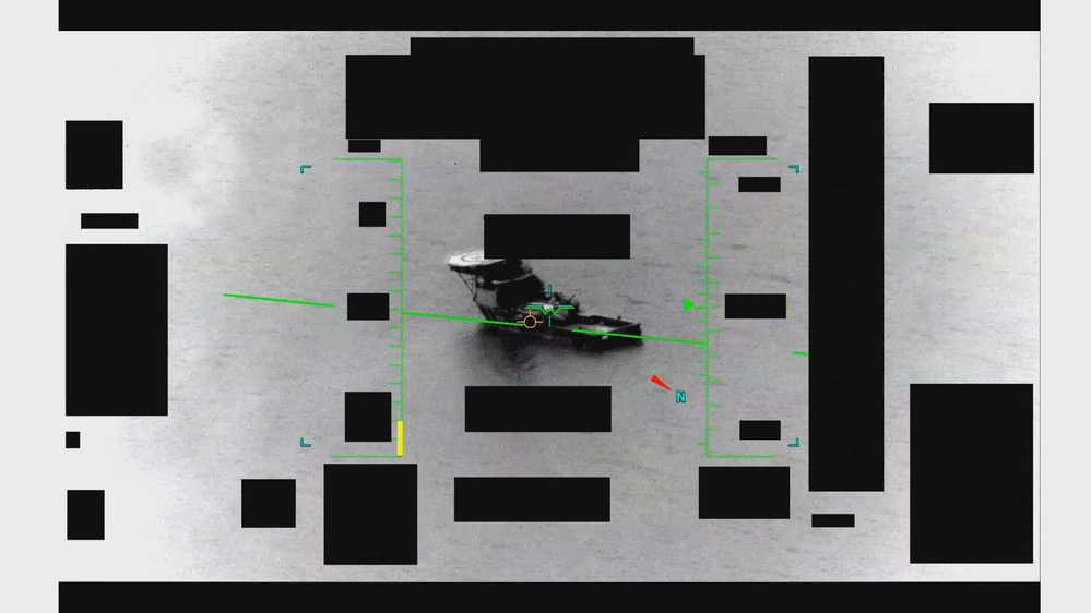
UFO-Video: Naher Osten, Mai 2020 (IR, 2 min)
UFO-Einsatzbericht, Persischer Golf, Aug. 2020

UFO-Einsatzbericht, Persischer Golf, Aug. 2020

UFO-Einsatzbericht, Persischer Golf, Juli 2020
Gleicher Ort
UFO-Einsatzbericht, Persischer Golf, Aug. 2020
UFO-Einsatzbericht, Persischer Golf, Aug. 2020
UFO-Einsatzbericht, Persischer Golf, Juli 2020
UFO-Formular Range Fouler, Persischer Golf, Aug. 2020
UFO-Einsatzbericht, VAE, Okt. 2023
 ▶ 63s
UFO-Video: Persischer Golf, 2020 (IR, 1 min)
Gleiche Aktenserie
UFO-Einsatzbericht, Persischer Golf, 2020
UFO-Einsatzbericht, Persischer Golf, 2020
UFO-Einsatzbericht, Persischer Golf, 2020
UFO-Einsatzbericht, Persischer Golf, 2020

UFO-Einsatzbericht, Persischer Golf, 2020

UFO-Einsatzbericht, Dschibuti, 2025
Gleicher Zeitraum
Marine-Bericht zu einem UFO, Atlantik, 2020
Marine-Bericht zu einem UFO, Ostküste der USA, 2020

UFO-Einsatzbericht, Iran, Nov. 2020

UFO-Einsatzbericht, Straße von Hormus, Okt. 2020

UFO-Einsatzbericht, Straße von Hormus, Sep. 2020
UFO-Formular Range Fouler, Arabisches Meer, Aug. 2020
Gleiche Veröffentlichung
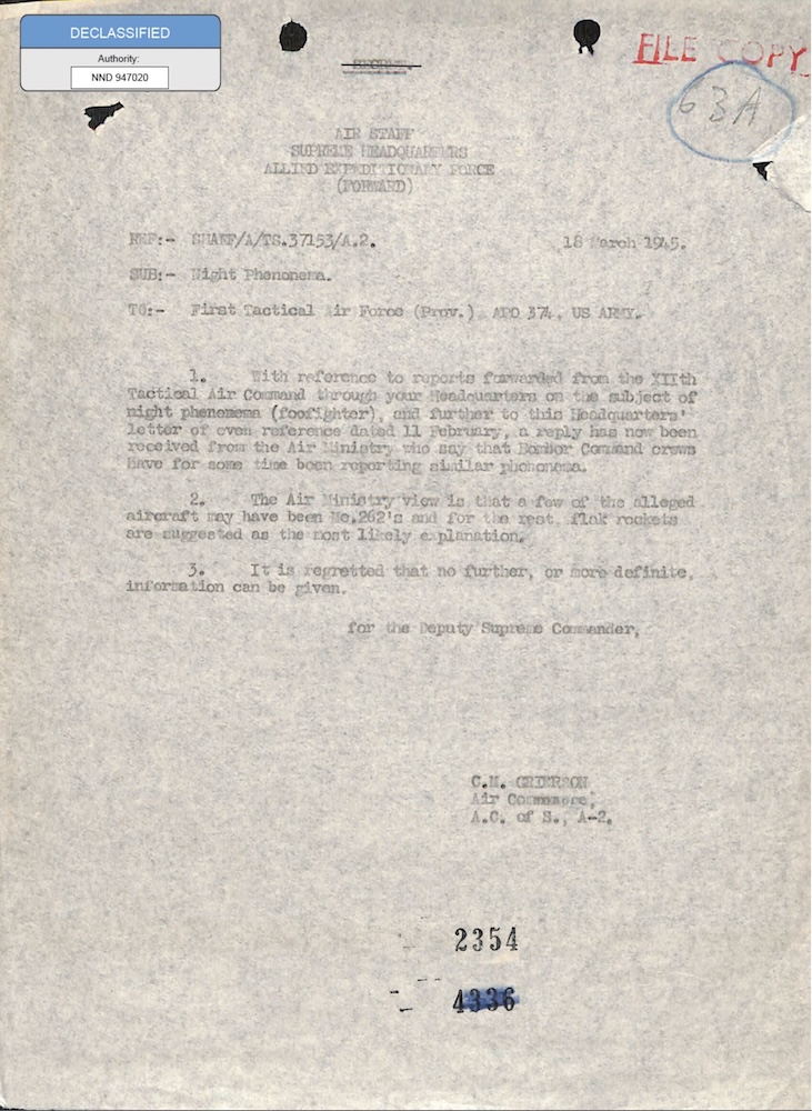
Foo Fighters: UFO-Akte des SHAEF, 1945
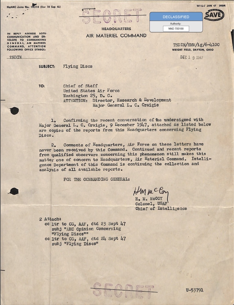
UFO-Akte Flying Discs: Twining-Brief, 1947
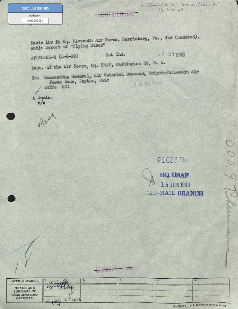
Project Sign: UFO-Akte Flying Discs, 1948
UFO-Geheimdienstbericht der US Air Force, 1948
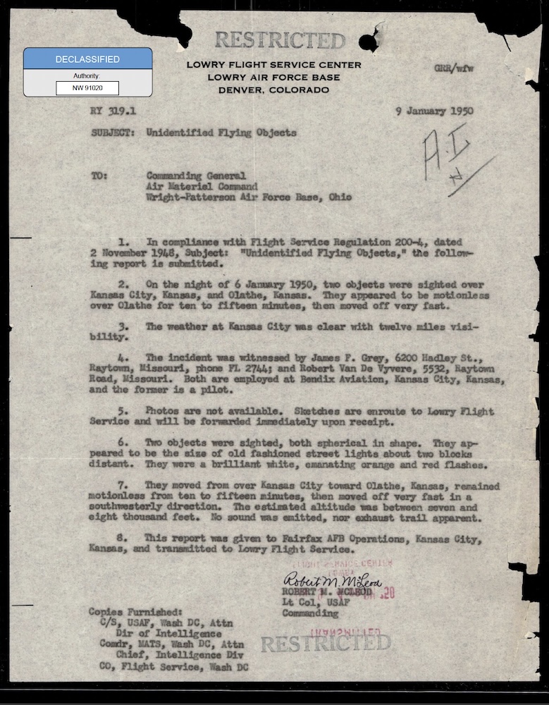
UFO-Berichte Flying Discs der US Air Force, 1948-1950
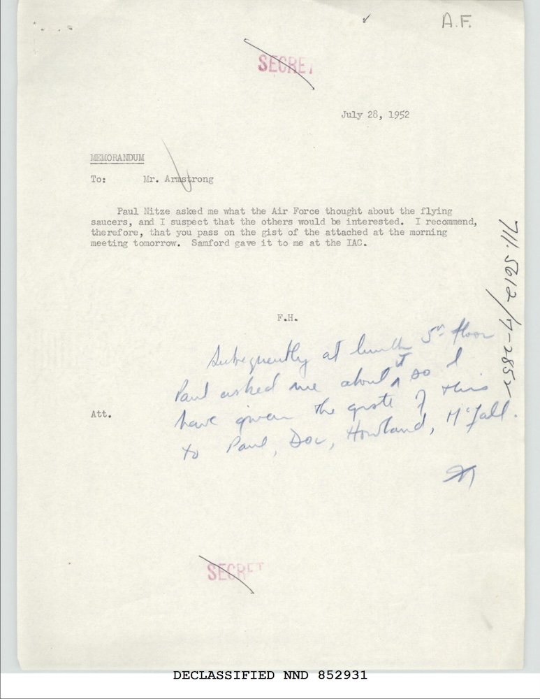
UFO-Memorandum des US-Außenministeriums, Juli 1952
Gleiche Behörde
Geisterraketen über Schweden: UFO-Bericht, 1947
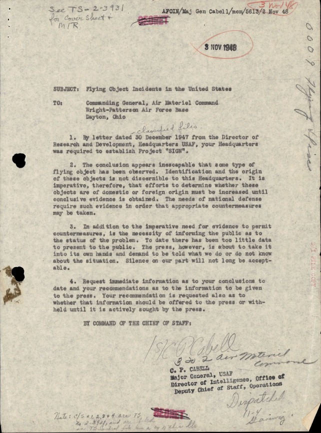
UFO-Akten zu Project Sign: Air Materiel Command, 1948
Project-Sign-Bericht zu 100 UFO-Sichtungen, 1948
Studie der US-Luftwaffe zu UFO-Vorfällen, 1948
UFO: grüne Feuerbälle bei Sandia und Los Alamos, 1948-50