Fiche OVNI Range Fouler, Moyen-Orient, mai 2020
Fichier officiel: DOW-UAP-D038, Rapport d’intrusion en polygone de tir (Range Fouler), Moyen-Orient, mai 2020
Publié le · Mis à jour le
Faits essentiels
- ID officiel du dossier
- DOW-UAP-D38 (cité comme DOW-UAP-D038 dans cette fiche)
- Type de document
- Document
- Agence
- Department of War
- Publié dans
- R01 · 2026-05-08
- Date de l'incident
- 5/14/20
- Lieu de l'incident
- golfe Arabique
- Coordonnées
- 27.2381259, 51.1972311
- Pages lisibles
- 1/1
- VIRIN
- 260508-D-D0360-1030
Description officielle
Ce document est un Range Fouler Debrief, un formulaire de compte rendu normalisé utilisé par la Marine américaine pour consigner les circonstances entourant une intrusion non autorisée dans un espace aérien contrôlé pendant des opérations ou des exercices militaires actifs. Ces rapports contiennent une description narrative de ce que l’observateur a vécu. Un opérateur militaire américain a rapporté avoir observé un « objet blanc compact [traversant] le [champ de vision] ». L’auteur du signalement a décrit l’UAP effectuant des [mouvements] erratiques au-dessus de l’eau. L’ensemble du langage descriptif et estimatif contenu dans ce rapport reflète l’interprétation subjective de l’auteur du signalement au moment de l’événement. Ces caractérisations ne doivent pas être interprétées comme une indication concluante de la présence ou de l’absence de caractéristiques intrinsèques de l’objet ou de performances spécifiques.
✦ Résumé IA
Formulaire 'Range Fouler Debrief Form' déclassifié, d'une page (un questionnaire standardisé de signalement d'UAP de type SPEAR/Marine), soumis pour une rencontre survenue le 14 mai 2020 à 2040Z (de nuit) au Moyen-Orient (code de zone de travail 28314 ; le champ de latitude du formulaire a été rempli avec 28314 N — reprenant apparemment le code de zone de travail — avec une longitude de 49524 E ; altitude de contact de 20 000 pieds, notée comme constante). Lors de l'exécution d'une mission ISR, le capteur de l'équipage (ATFLIR) a détecté un objet solide, blanc et rond traversant le champ de vision ; l'équipage l'a brièvement perdu puis l'a réacquis, le suivant alors qu'il semblait effectuer des mouvements erratiques juste au-dessus de l'eau. L'opérateur de capteur a obtenu un zoom x4 sur l'objet avant de le perdre à nouveau en raison d'un mauvais positionnement de la poursuite, ajustant continuellement le capteur pour garder l'objet en vue (comme en témoignent des vagues alternativement visibles/invisibles à l'arrière-plan). Sur le formulaire, la forme a été cochée comme "Ronde", sans indication de pièces mobiles, de surface métallique, de marquages ou de propulsion apparente enregistrée (champs non cochés). Le contact a été évalué comme un objet unique (1) ; le champ « Radar Equipped » du formulaire est resté vide, tandis que le trackfile a été marqué comme intermittent. Déclassifié par le général de division Richard A. Harrison, chef d'état-major de l'USCENTCOM, diffusé sous USCENTCOM MDR 26-0019, le 26/01/26, approuvé pour diffusion à l'AARO.
Généré par IA à partir du fichier officiel — peut contenir des erreurs.
▸Transcription(1 des 1 pages lisibles)
[PAGE 1] [Stamp, red text, top right, with a line struck through it]: "Declassified by MG Richard A. Harrison, USCENTCOM Chief of Staff" / "Declassified on 22 January 2026" [struck through] — overlapped by printed instruction text: "Please do not use the purple "submit" button above. Save and email the complete file manually (see below)." [DoD seal/emblem, left] ... [redacted red bar, center, above title] Range Fouler Debrief Form Please complete this form to the best of your ability. If you do not have the requested information, please leave the field blank. If there was more than one "group," please report each on a separate form for data collection purposes. You should receive a response within 5 business days. Last Name, First Name: [blank] Rank: [blank] Squadron: [blank box] SIPR Email Address: [blank] Crew Position: [blank] This information is for contact only. SPEAR sanitizes all reports of identifying information. Absolutely no identifying information for aircrew or squadron will be recorded for analysis. Date (mm/dd/yy): 05/14/20 Time of detection (hh:mm:ss Z): 20:40:00 Day/Night: Night Side No.: [blank] Buno: [blank] Mission Description (CAS, BFM, etc): ISR LFE?: [blank] Contact Working Area (Ex: W-72 1A): 28314 Contact Latitude (DD:MM:SS): 28314 N/S: N Contact Longitude (DD:MM:SS): 49524 E/W: E Contact Altitude (Ex: 22000): 20000 Altitude Constant?: Yes Wind Dir at Contact Alt (From): [blank] Wind Speed: [blank] Please attempt to determine a Lat/Long for the contact at initial detection. We recommend using JMPS to reference the sensor-derived bearing and range relative to the bullseye you had in use. If that method is not available, any reasonable derivation of location will work, but please be as specific as possible and make a note in the comments section. These locations may be used to cue other means of tracking. Was the contact moving?: Yes Direction/Speed (Ex. 090/15): [blank] Radar Equipped: [blank] Stable Trackfile?: Intermittent # of Contacts in "Group": 1 AIM-9x Self-Track: [unchecked] ATFLIR Autotrack: [unchecked] Tally Achieved: [unchecked] EA Indications (Check all that apply): ECM Arc [unchecked] Letter Identifier [unchecked] False Trackfiles [unchecked] Other/Ambiguous [unchecked] Please check all that apply: Round: [checked] Moving Parts: [unchecked] Square: [unchecked] Metallic: [unchecked] Balloon-shaped: [unchecked] Markings: [unchecked] Wings/Airframe: [unchecked] Translucent: [unchecked] Other Shape: [unchecked] Opaque: [unchecked] Apparent Propulsion: [unchecked] Reflective: [unchecked] Please use the field below to describe the contact and any interaction in your own words with as much detail as possible. Please be sure to include any detail not included in questions above. While preforming an ISR tasking (ULTN/Black Hot/Lin), a solid white object flew through the FOV. There was a temporarily lose of the object but re-acquired shortly there after. The crew was able to follow the object as it appeared to make erratic moments above the water. During the follow, crew was able to obtain 4x zoom on the object but lost the object due to poor track placement. While following, the sensor operator was continuously manipulating the sensor to maintain eyes on the object. This is apparent by the waves of the water in the background being visible and not being visible. Don't use the purple "submit" button! Save this form with filename "Date_Squadron_RF.pdf" and email it to [redacted, FOIA Exemption 3.5c, (b)(6)] (Also in the global). For troubleshooting, call [redacted, FOIA Exemption 3.5c, (b)(6)]. Thank you for your time. Please ensure all display tapes are ripped for the entire time of interaction and saved as a .wmv (Example: 4 May VFA-106 HUD.wmv). Squadron intel personnel shall upload those files to the repository located at this link. [redacted, FOIA Exemption 3.5c, (b)(6)] USCENTCOM MDR 26-0019 [redacted red bar] Approved for Release to AARO 01/26/26 001
Généré par IA à partir du fichier officiel — peut contenir des erreurs.
Traduction automatique — le document original est en anglais. Voir en anglais →
Source : Département de la Guerre des États-Unis / AARO — domaine public · war.gov/ufo
Entités dans ce document
Dossiers reliés
DOW-UAP-D010, Mission Report, Middle East, May 2022

DOW-UAP-D023, Mission Report, United Arab Emirates, October 2023

DOW-UAP-D033, Mission Report, Greece, October 2023

DOW-UAP-D035, Mission Report, Greece, October 2023

DOW-UAP-D042, Range Fouler Debrief, Arabian Gulf, 2023
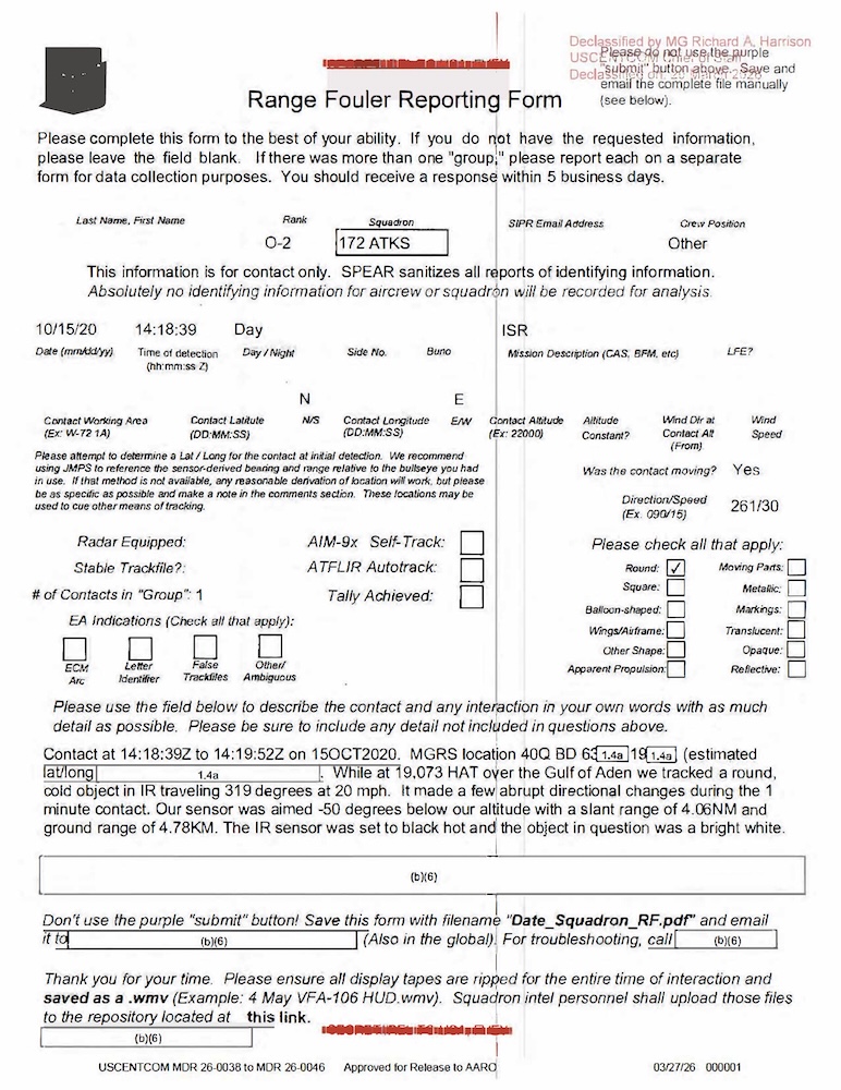
DOW-UAP-D044, Range Fouler Reporting Form, Gulf of Aden, October 2020
Affaires liées
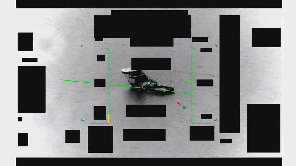 ▶ 137s
Vidéo OVNI : Moyen-Orient, mai 2020 (IR, 2 min)
Rapport de mission OVNI, golfe Persique, août 2020

Rapport de mission OVNI, golfe Persique, août 2020

Rapport de mission OVNI, golfe Persique, juil. 2020
Même lieu
Fiche OVNI Range Fouler, golfe Persique, août 2020
Rapport de mission OVNI, golfe Persique, août 2020
Rapport de mission OVNI, golfe Persique, août 2020
Rapport de mission OVNI, golfe Persique, juil. 2020
Rapport de mission OVNI, EAU, oct. 2023
 ▶ 63s
Vidéo OVNI : golfe Persique, 2020 (IR, 1 min)
Même série de dossiers
Rapport de mission OVNI, golfe Persique, 2020
Rapport de mission OVNI, golfe Persique, 2020
Rapport de mission OVNI, golfe Persique, 2020

Rapport de mission OVNI, golfe Persique, 2020

Rapport de mission OVNI, golfe Persique, 2020

Rapport de mission OVNI, Djibouti, 2025
Même période
Fiche OVNI Range Fouler, golfe d'Aden, oct. 2020

Fiche OVNI Range Fouler, golfe d'Aden, sept. 2020
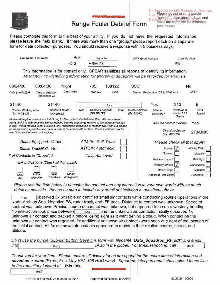
Fiche OVNI Range Fouler, mer d'Arabie, août 2020
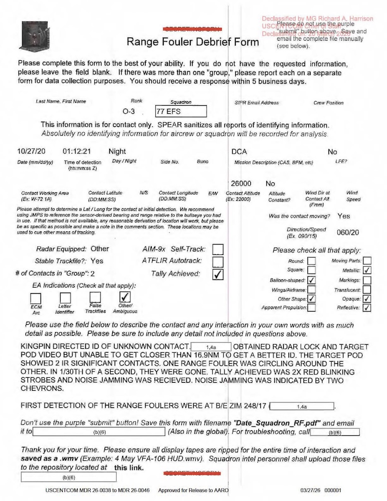
Fiche OVNI Range Fouler, Moyen-Orient, oct. 2020
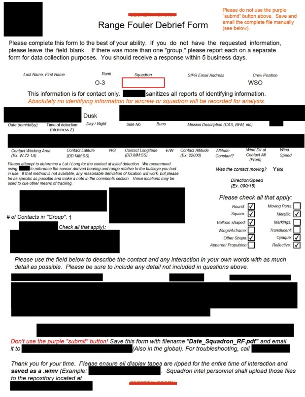
Rapport de la Marine sur un OVNI, Atlantique, 2020
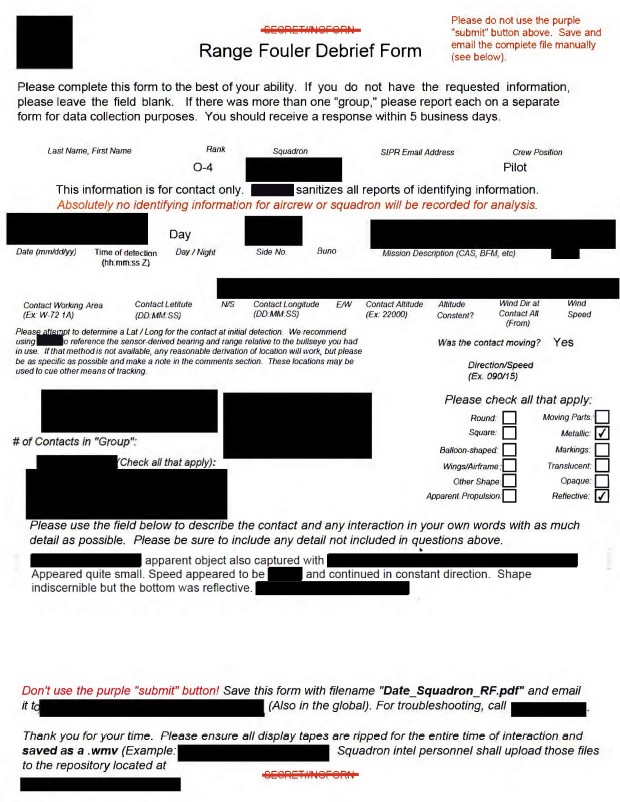
Rapport de la Marine sur un OVNI, est des USA, 2020
Même publication
Foo fighters : dossier OVNI du SHAEF, 1945
Dossier OVNI Flying Discs : lettre Twining, 1947
Projet Sign : dossier OVNI Flying Discs, 1948
Rapport de renseignement USAF sur les OVNI, 1948
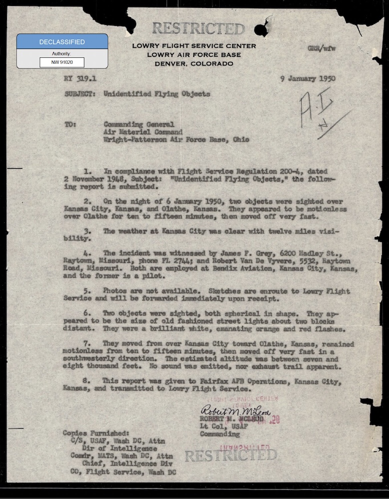
Rapports OVNI Flying Discs de l'USAF, 1948-1950
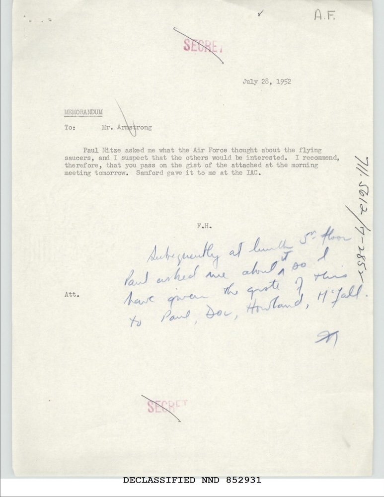
Note du Département d'État sur les OVNI, juillet 1952
Même agence
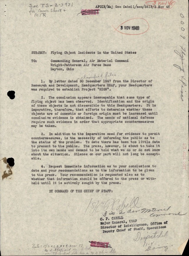
Dossier OVNI du Projet Sign : Air Materiel Command, 1948
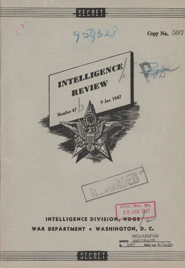
Fusées fantômes en Suède : rapport OVNI, 1947
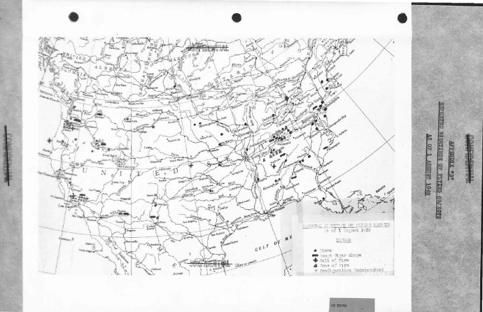
Étude de l’US Air Force sur les OVNI, 1948
OVNI : boules de feu vertes, Sandia et Los Alamos, 1948-50
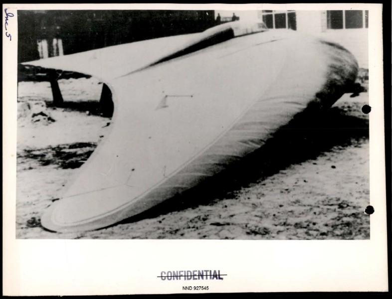
Rapport du Projet Sign sur 100 observations OVNI, 1948