DOW-UAP-D057, Range Fouler Reporting Form, Golf von Aden, September 2020
Kerndaten
- Offizielle Akten-ID
- DOW-UAP-D57 (hier zitiert als DOW-UAP-D057)
- Dokumenttyp
- Dokument
- Behörde
- Department of War
- Veröffentlicht in
- R01 · 2026-05-08
- Datum des Vorfalls
- 9/4/20
- Ort des Vorfalls
- Golf von Aden
- Koordinaten
- 12.6147301, 47.5063378
- Lesbare Seiten
- 1/1
- VIRIN
- 260508-D-D0360-1041
Offizielle Beschreibung
Bei diesem Dokument handelt es sich um ein Range Fouler Reporting Form, ein standardisiertes Berichtsformular, das von der US-Marine verwendet wird, um die Umstände eines unbefugten Eindringens in kontrollierten Luftraum während aktiver militärischer Einsätze oder Übungen festzuhalten. Diese Berichte enthalten eine erzählerische Beschreibung der Erfahrungen des Beobachters. Ein US-Militäroperator meldete, ein „rundes, kaltes Objekt“ acht Minuten lang über dem Golf von Aden mittels „Black-Hot“-IR-Sensor verfolgt zu haben, wodurch das UAP „leuchtend weiß“ erschien. Der Bericht besagt, dass sich das UAP „mit einem Kurs von 168 Grad und einer Geschwindigkeit von 277 mph“ bewegte und während der Begegnung „einige abrupte Richtungsänderungen vollzog“. Alle in diesem Bericht enthaltenen beschreibenden und einschätzenden Formulierungen spiegeln die subjektive Interpretation des Meldenden zum Zeitpunkt des Ereignisses wider. Solche Charakterisierungen sollten nicht als schlüssiger Hinweis auf das Vorhandensein oder Fehlen intrinsischer Objektmerkmale oder Leistungsmerkmale ausgelegt werden.
✦ KI-Zusammenfassung
Dies ist ein „Range Fouler Reporting Form“ (SPEAR-Datenerhebungsformular, das von Einheiten der US Navy/USCENTCOM verwendet wird), das eine UAP-Begegnung über dem Golf von Aden am 4. September 2020, 21:09–21:17Z, nachts während einer ISR-Mission dokumentiert. Eine Besatzung (Staffel geschwärzt) verfolgte ein rundes, kaltes Objekt (mit „black-hot“-Signatur im Infrarot) in 23.819 ft Höhe, das sich auf Kurs 168 Grad mit einer Geschwindigkeit von 277 mph bewegte und während des rund 8-minütigen Kontakts einige abrupte Richtungsänderungen vollzog. Der Sensor war 39 Grad unterhalb der Flughöhe ausgerichtet, mit einer Schrägentfernung von 6,1 NM und einer Bodenentfernung von 8,81 km. Das Objekt wurde als rund beschrieben, mit beweglichen Teilen als angekreuzte Option, verfolgt per FLIR/TFLIR mit AIM-9x-Eigenverfolgung und Radarausstattung. Namen des Personals, Staffel und einige Koordinaten sind gemäß (b)(1)/(b)(6) geschwärzt. Dokument zur Freigabe an MRO genehmigt, als FOUO gekennzeichnet, datiert auf den 16.03.26, Referenz USCENTCOM 26.0028.
Mit KI aus der Originaldatei erstellt — kann Fehler enthalten.
▸Transkript(1 von 1 Seiten lesbar)
[PAGE 1] Range Fouler Reporting Form. Please complete this form to the best of your ability. If you do not have the requested information, please leave the field blank. If there was more than one "group" please report each on a separate form for data collection purposes. You should receive a response within 5 business days. Last Name, First Name; Rank; Squadron; SPEAR Email Address; Crew Position: 0-3, 1172, ATKS, Other. This information is for contact only. SPEAR sanitizes all reports of identifying information. Absolutely no identifying information for aircrew or squadron will be recorded for analysis. Date (mm/dd/yy): 09/04/20. Time of detection (hh:mm:ss Z): 21:09:00. Day/Night: Night. Mission Description (CAS, BFM, etc): ISR. Side No. Buno: 23819. LFE? Contact Working Area, Contact Latitude N/S, Contact Longitude E/W, Contact Altitude: 23,819. Please attempt to determine a Lat/Long for the contact at initial detection. We recommend using JMPS to reference the sensor-derived bearing and range relative to the bullseye you had in use. If that method is not available, any reasonable derivation of location will work, but please be as specific as possible and make a note in the comments section. These locations may be used to cue other means of tracking. Was the contact moving? Yes. Direction/Speed: 168/277 (Ex. 090/15). Constant? Contact Alt/Speed (From). Wind Dir at Wind (Ex: W-721A) (DD:MM:SS). Radar Equipped: AIM-9x Self-Track. Please check all that apply: Round: [checked]. Moving Parts: [checkbox]. Stable Trackfile?: A. TFLIR Autotrack: [checkbox]. Square: [checkbox]. Metallic: [checkbox]. # of Contacts in "Group": 1. Tally Achieved: [checkbox]. Balloon-shaped: [checkbox]. Marking(s): EA. Indications (Check all that apply): Wings/Airframe: [checkbox]. Translucent: [checkbox]. Other Shape: [checkbox]. Opaque: [checkbox]. Letter. False. Other/ECM. Apparent Propulsion: Reflective: [checkbox]. Any Identifier: Trackfiles. Ambiguous. Please use the field below to describe the contact and any interaction in your own words with as much detail as possible. Please be sure to include any detail not included in questions above. Contact at 21:09z to 21:17z 04SEP2020. MGRS location 38P [redacted] (estimated lat/long [redacted (b)(1)/(b)(6)]. While at 23,819 ft AGL/HAT over the Gulf of Aden we tracked a round, cold object in IR traveling 168 degrees at 277 mph. It made a few abrupt directional changes during the 8 minute contact. Our sensor was aimed -39 degrees below our altitude with a slant range of 6.1 NM and ground range of 8.81 KM. The IR sensor was set to black hot and the object in question was a [TRUNCATED / illegible] [redacted call sign] (b)(6) Thank you for your time. Please ensure all display tapes are ripped for the entire time of interaction and saved as a .wmv (Example: 4 May VFA-106 HUD.wmv). Squadron intel personnel shall upload those files to the repository located at this link. [redacted] (b)(3)(c), (b)(6) USCENTCOM 26.0028 Approved for Release to MRO — FOUO / PA applies 03/16/26 000001
Mit KI aus der Originaldatei erstellt — kann Fehler enthalten.
Automatische Übersetzung — das Originaldokument ist auf Englisch. Auf Englisch ansehen →
Quelle: US-Kriegsministerium / AARO — gemeinfrei · war.gov/ufo
Entitäten in diesem Dokument
Verbundene Fälle
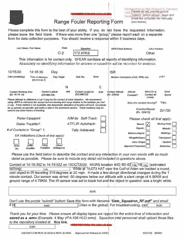
DOW-UAP-D044, Range Fouler Reporting Form, Gulf of Aden, October 2020
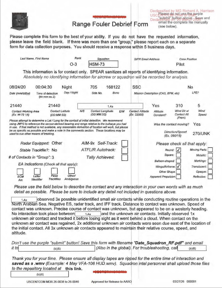
DOW-UAP-D056, Range Fouler Debrief, Arabian Sea, August 2020
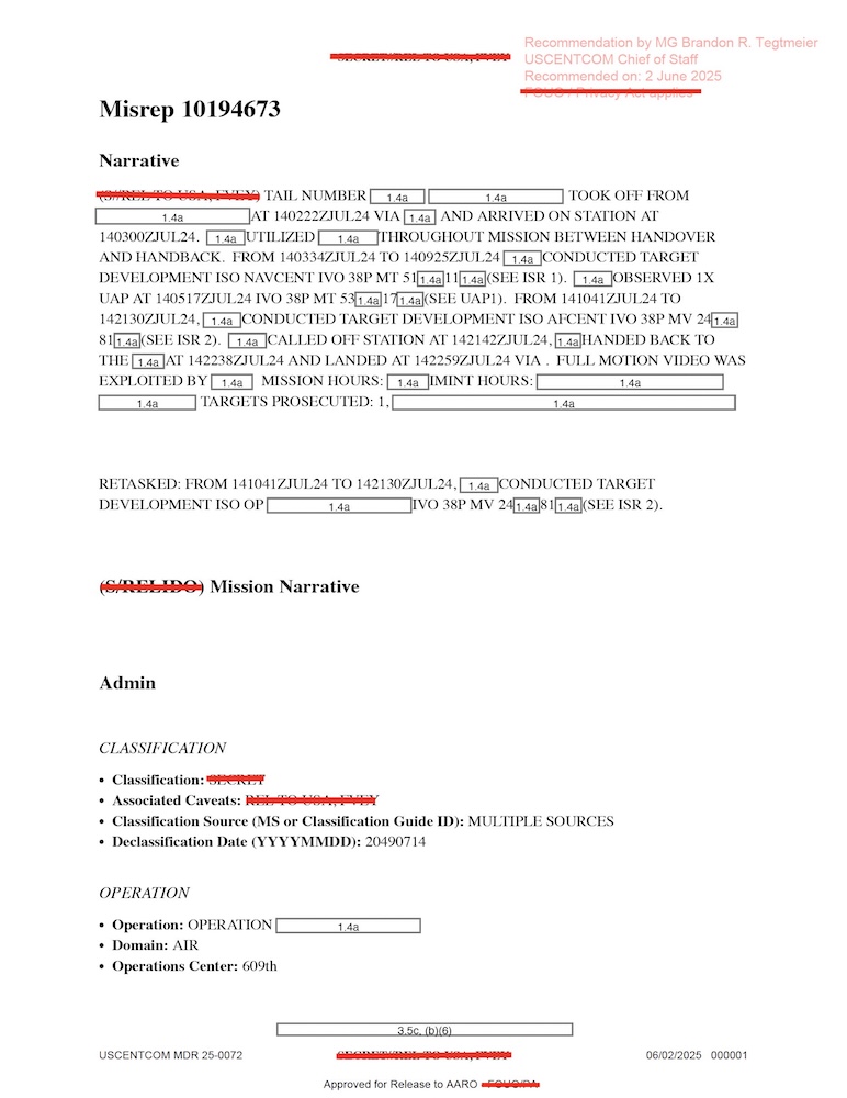
DOW-UAP-D075, Mission Report, Gulf of Aden, July 2024
DOW-UAP-D010, Mission Report, Middle East, May 2022
DOW-UAP-D012, Mission Report, Iraq, May 2022
DOW-UAP-D014, Mission Report, Iraq, May 2022
Verwandte Fälle

DOW-UAP-D106, Einsatzbericht, Irak, 2022

DOW-UAP-D109, Einsatzbericht, Naher Osten, 2022

DOW-UAP-PR130, Ungelöster UAP-Bericht, Irak, 2022

DOW-UAP-PR131, Ungelöster UAP-Bericht, Irak, 2022
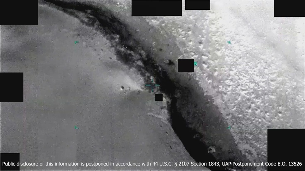 ▶ 156s
DOW-UAP-PR141, Ungelöster UAP-Bericht, Naher Osten, 2022
Gleiche Aktenserie
DOW-UAP-D003, Einsatzbericht, Arabischer Golf, 2020
DOW-UAP-D004, Einsatzbericht, Arabischer Golf, 2020
DOW-UAP-D005, Einsatzbericht, Arabischer Golf, 2020
DOW-UAP-D006, Einsatzbericht, Arabischer Golf, 2020
DOW-UAP-D007, Einsatzbericht, Arabischer Golf, 2020

DOW-UAP-D008, Einsatzbericht, Dschibuti, 2025
Gleicher Zeitraum
DOW-UAP-D038, Range Fouler Debrief, Naher Osten, Mai 2020
DOW-UAP-D042, Range Fouler Debrief, Japan, 2023
DOW-UAP-D044, Range Fouler Reporting Form, Golf von Aden, Oktober 2020
DOW-UAP-D056, Range Fouler Debrief, Arabisches Meer, August 2020
DOW-UAP-D058, Range Fouler Debrief, NA, Oktober 2020
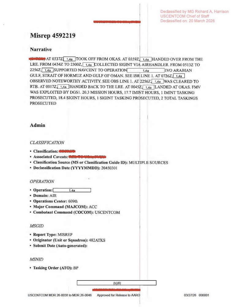
DOW-UAP-D060, Einsatzbericht, Arabischer Golf, August 2020
Gleiche Veröffentlichung
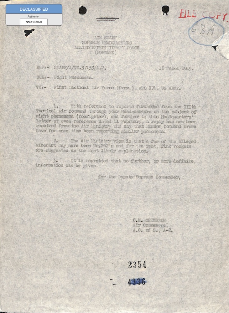
331_120752_Numeric_Files_1944–1945_37153_German_Armament_Equipment_Documents
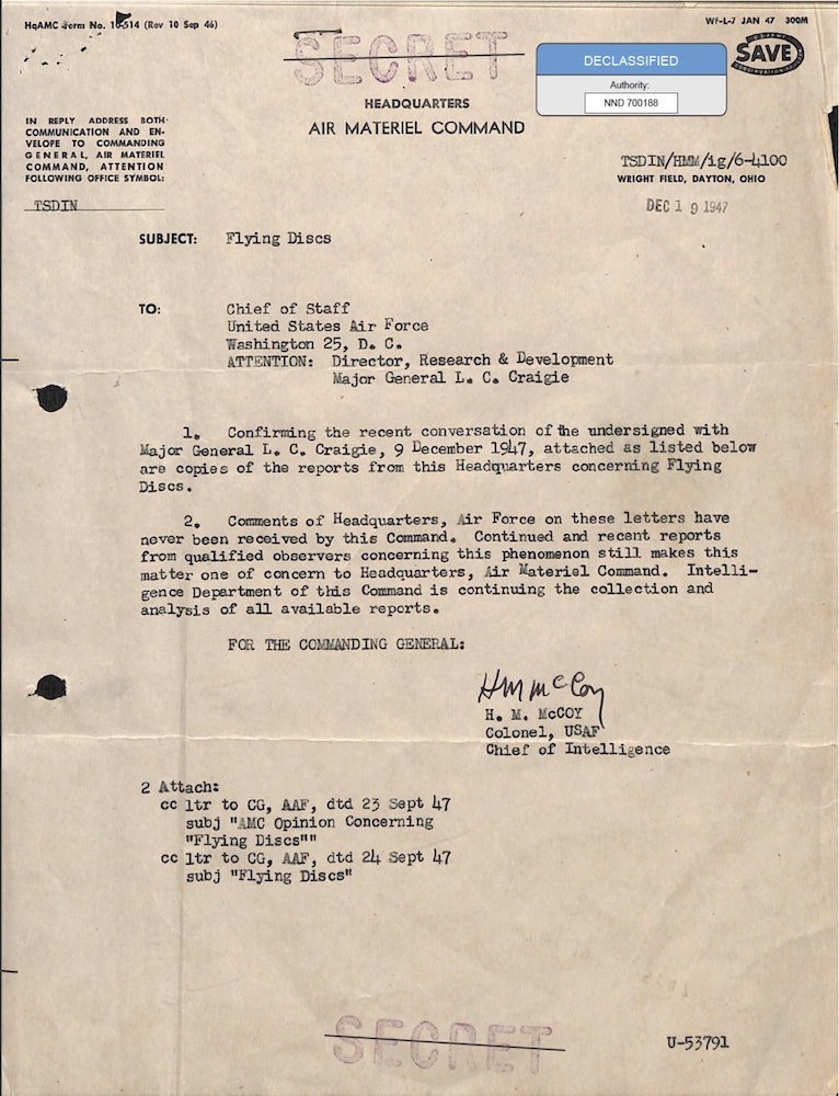
18_100754_ General 1946-7_Vol_2
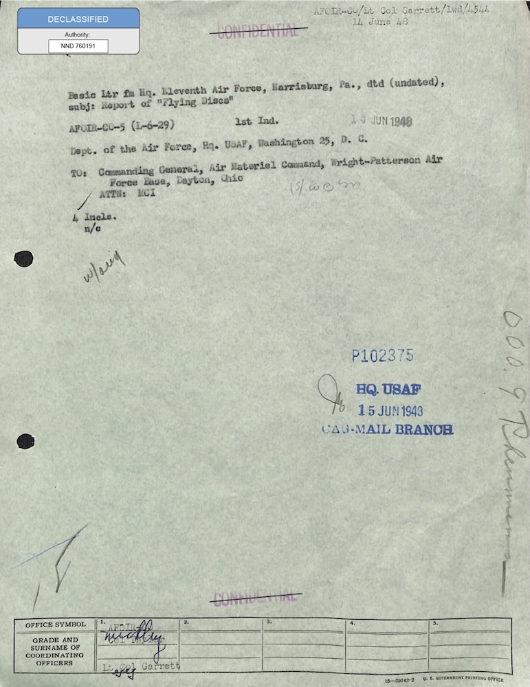
18_6369445_General_1948_Vol_1
341_110448_Records_Relating_to_the_Collection_and_Dissemination_of_Intelligence_1948-1955-TS_CONT_No.2_2-5300-2-5399
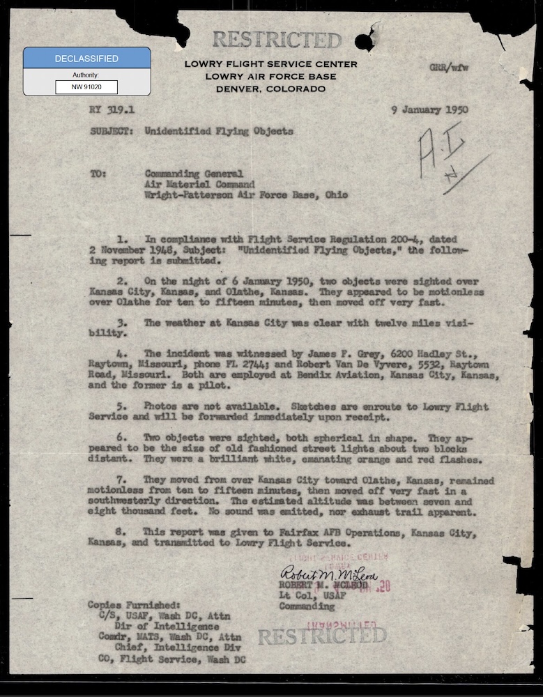
342_HS1-416511228_319.1 Flying Discs 1949
59_64634_711.5612[7-2852
Gleiche Behörde
DOW-UAP-D099, Nachrichtendienstliche Auswertung der „Geisterraketen“-Vorfälle, 1947
DOW-UAP-D100, Bericht des Air Materiel Command über unidentifizierte Flugobjekte, 1947-1948
DOW-UAP-D017, UAP-Meldungen am Sandia-Stützpunkt, 1948–1950
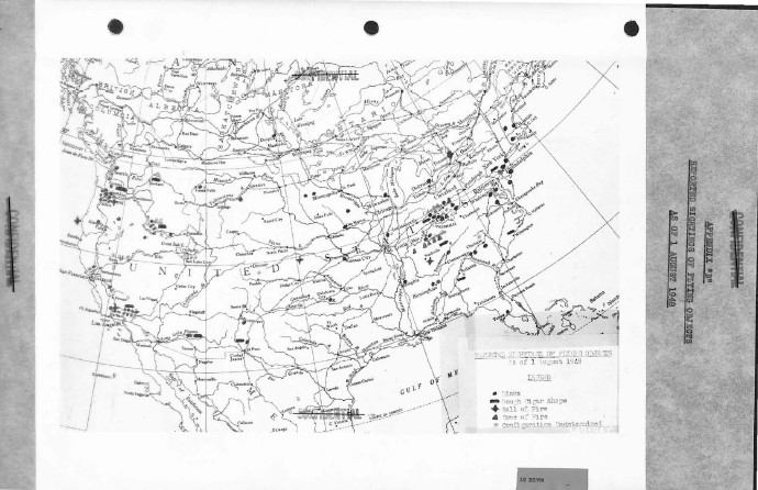
DOW-UAP-D093, Analyse von Vorfällen mit fliegenden Objekten in den Vereinigten Staaten, 1948
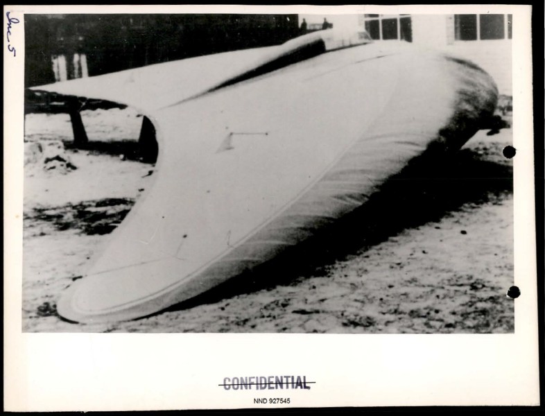
DOW-UAP-D097, Fortschrittsbericht zu Project Sign, 1948